Live · Morse Reservoir · Indiana
For wake boaters, skiers, and surfers who want the real answer. Fetch maps where the water is actually glassy right now — live wind run through real shoreline geometry and depth data, so you know exactly which part of the lake is worth going to.
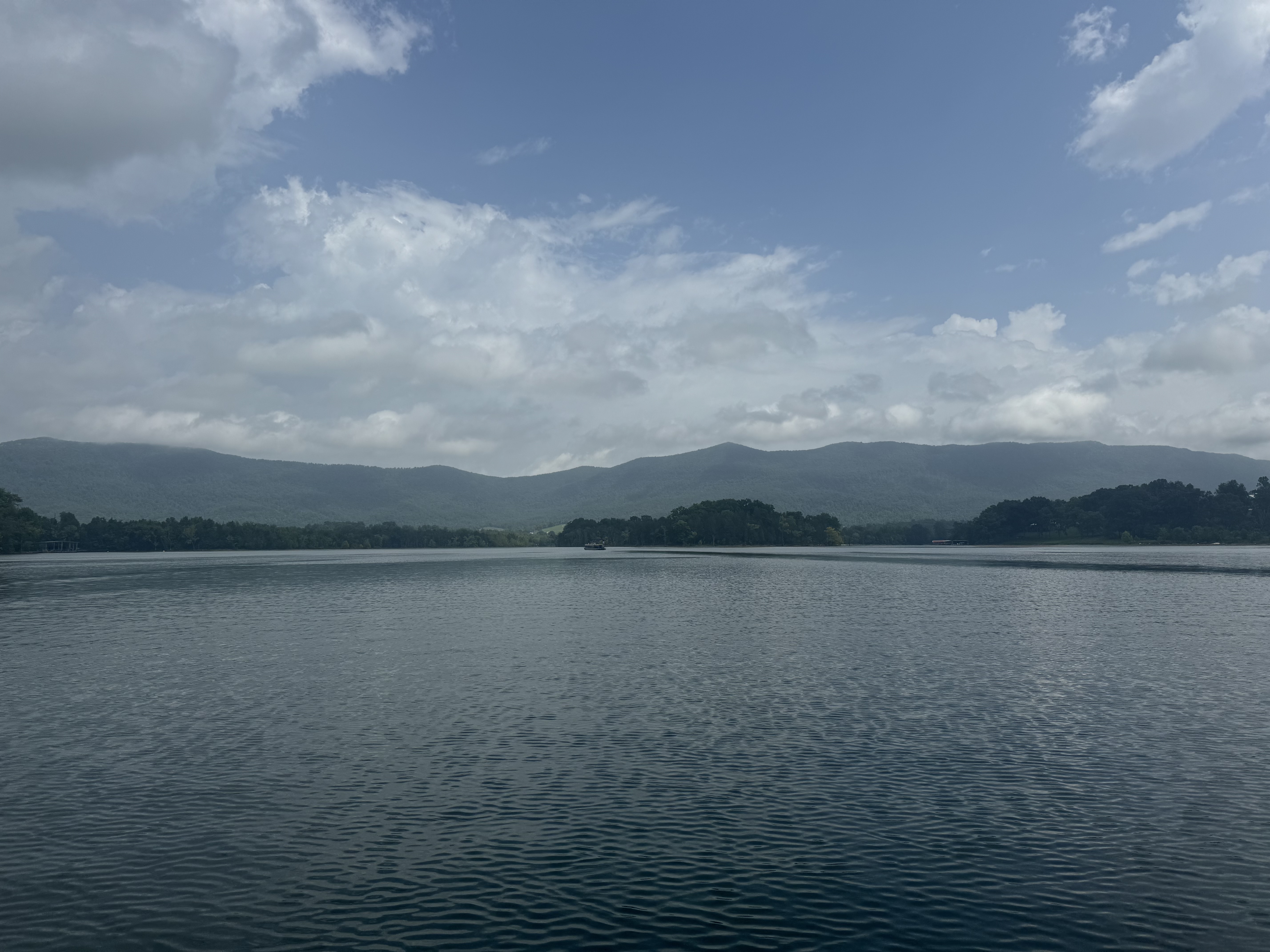
Morse Reservoir
— / 10
Loading…
Wind-Protected Zones
—
of the lake right now
Wind · Morse
— mph
Loading…
Best Window
—
next calm window
Water Temp
—
Coverage
Each lake is individually modeled — shoreline geometry ingested, depth data layered in, scored points validated. Morse is the first. Geist is next. The pipeline is designed to scale. Join the early access list to influence which lake gets added.
Morse Reservoir
Geist Reservoir
Lake Monroe
Lake Wawasee
How It Works
Fetch doesn't just read the wind — it runs that wind through real lake geometry to calculate surface conditions at every specific location on the water. The result is not another weather forecast. It's a spatial model that tells you where to go.
Already on the water? Conditions shift across the lake as the wind changes. Fetch shows where to move next.
Every lake is modeled from actual shoreline data and bathymetric depth — not polygons or guesses. Each point on the water gets its own exposure calculation based on its real position and surrounding geography.
Live wind speed and direction are projected across the lake model on every request. The northwest cove and the main channel get different answers — because they have different exposures to that exact wind.
One number, 1–10, tuned to how you ride. A wakeboarder and a barefoot skier have different tolerances for surface texture — sport mode adjusts the scoring thresholds accordingly. Green means go. The map shows exactly where.
Two people on the same lake at the same time can have completely different sessions — depending on where they go.
Sport Modes
Not every rider reads the same water the same way. The base layer gives a general condition overview for the whole lake. Sport modes apply sport-specific tolerances — adjusting depth sensitivity, surface thresholds, and corridor logic for how you actually use the water.
Sport modes don't just tell you where to start — they help you adjust as conditions shift across the lake. Same lake, same moment, different answers depending on your sport.
Early Access
Set your target session score and Fetch will alert you when conditions on your lake hit the threshold — whether you're planning the morning or already watching the wind shift. No more guessing at 5am. More lakes coming — leave your email and we'll notify you when yours is live.
No spam. Unsubscribe anytime. Live on Morse. Expanding to more Indiana lakes in 2025.